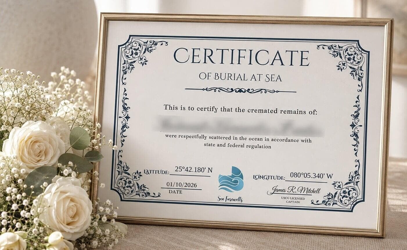
Every sea farewell we carry out is recorded with a position: a latitude and a longitude, taken at the site, printed on the certificate that comes back to you.
Most families do not think much about that line until later. It tends to be one detail among many at a point when there is a great deal to arrange. This is a short explanation of what those numbers are, how we take them, and what people do with them afterward.
How the position is recorded
The captain records the coordinates at the site itself, at the time of the scattering, before the vessel leaves. It is not estimated afterward from the route or approximated to the nearest landmark. A position off the coast of Miami looks something like 25.6103° N, 80.0271° W, and typed into any map application those numbers will show you the place.
That position, along with your loved one’s name and the date, appears on the Certificate of Burial at Sea, which is signed by the U.S. Coast Guard licensed captain who carried out the ceremony.
Under federal rules we also report the scattering to the Environmental Protection Agency within thirty days. That report includes the location, so the position is recorded in two places rather than one.
The water moves, the position does not
This question comes up, and it is a fair one: if the ocean is constantly moving, what does a fixed position actually refer to?
The coordinates mark where the scattering took place. They are a record of an event at a place, in the same way that a date records an event in time. What the water does afterward does not alter where it happened.
It is worth being straightforward about this rather than implying something the numbers do not support. A latitude and longitude is not a plot of ground, and it does not behave like one. It is an accurate record of where a specific thing happened on a specific day.
What people do with them
Families use the coordinates differently, and there is no expected way to use them at all.
Some enter them into a map at home, or write them alongside a name and date in a family record. Some send them to relatives who could not travel, which gives people at a distance something specific rather than a general idea of the ocean. Some keep the certificate and do nothing further with it.
Others return to the position by boat. That is straightforward to arrange — any charter operator can take a set of coordinates and bring you to them — and some families do it on an anniversary, others once, others not at all.
Nothing about the certificate obliges you to do any of this. Some families want a precise location and some do not, and both are ordinary.
If you have already scattered ashes elsewhere
If you have scattered ashes previously without recording a position, that is not unusual, and it is not something that needs correcting. A great many scatterings happen without anyone writing down where.
We mention it only because families sometimes ask whether they should have done something differently. The short answer is no. The reason we record the position is that we are on a boat with navigation equipment and there is no reason not to.
Asking about it
If you would like to know more about how a ceremony is recorded, or what the certificate looks like, we are glad to explain.
Call us at (305) 978-5974.